Difficulty
intermediate
Viz (last reported 21987h ago)
N/A
Max Depth
82 ft
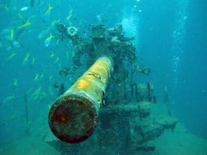
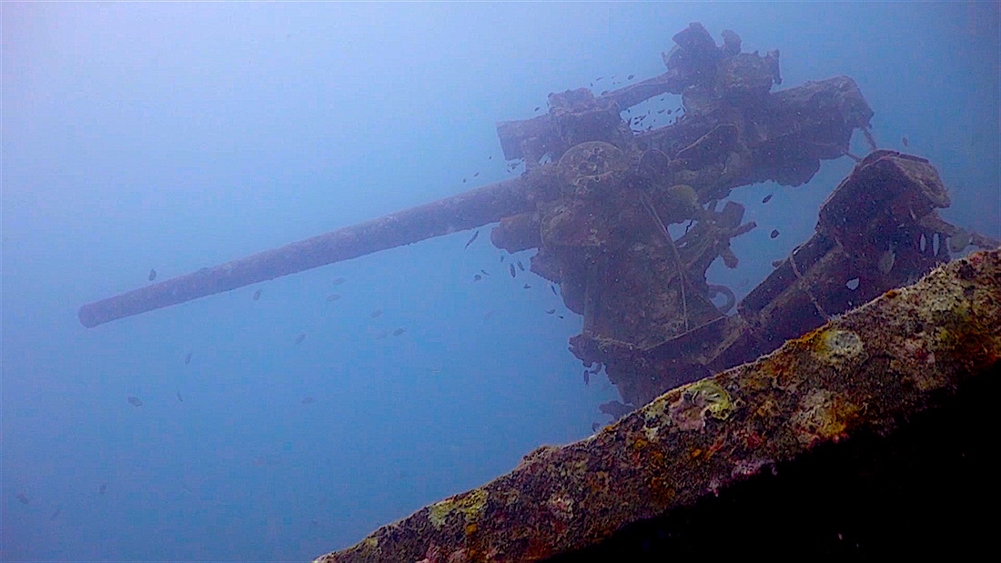
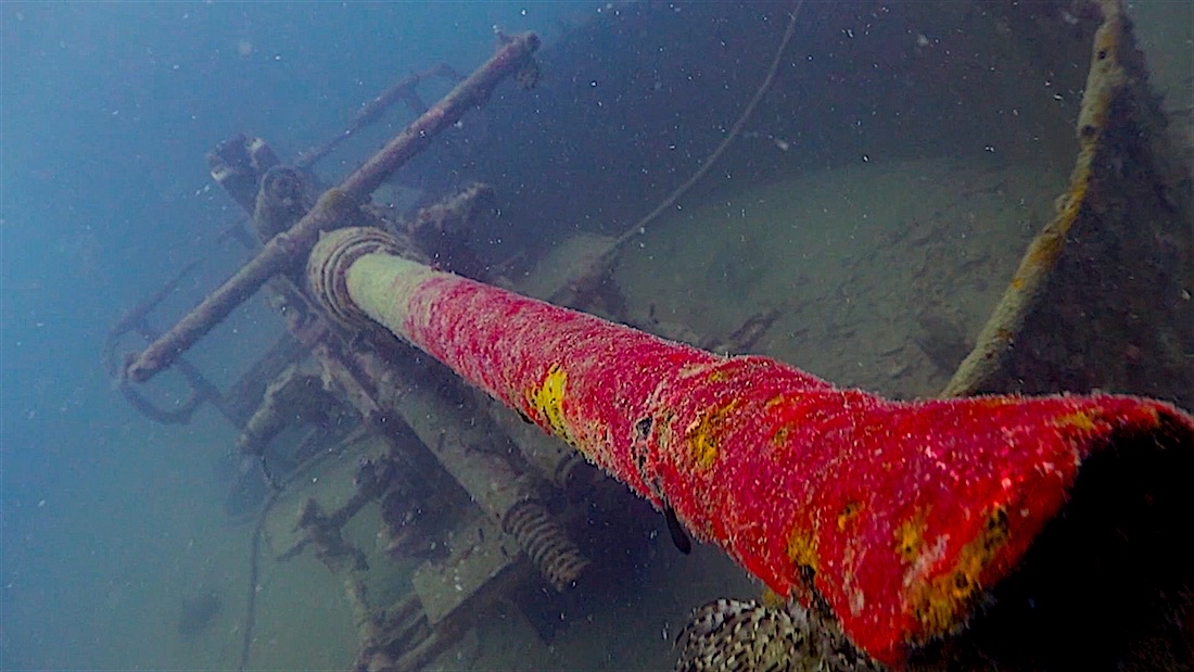
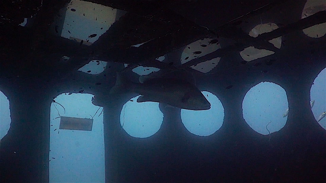
Snorkeling and Scuba Diving at HTMS Sattakut
LCI-742 sunk by the Thai Navy to create an artificial reef.
Depth 33m to 19m
Wreck LCI-742 marked by yellow buoy
HTMS Sattakut is also known as LCI-742 Wreck.
Access
boat
View
Nearby Shops
Tide Report
5
4
3
2
1
(1)
Warren Green
Oct 15, 2022, 2:23 PM
scuba


2
